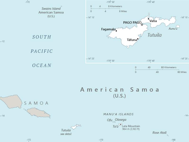
American Samoa Location Map
American Samoa Facts
Full Official Name: American Samoa
Demonym: American Samoan
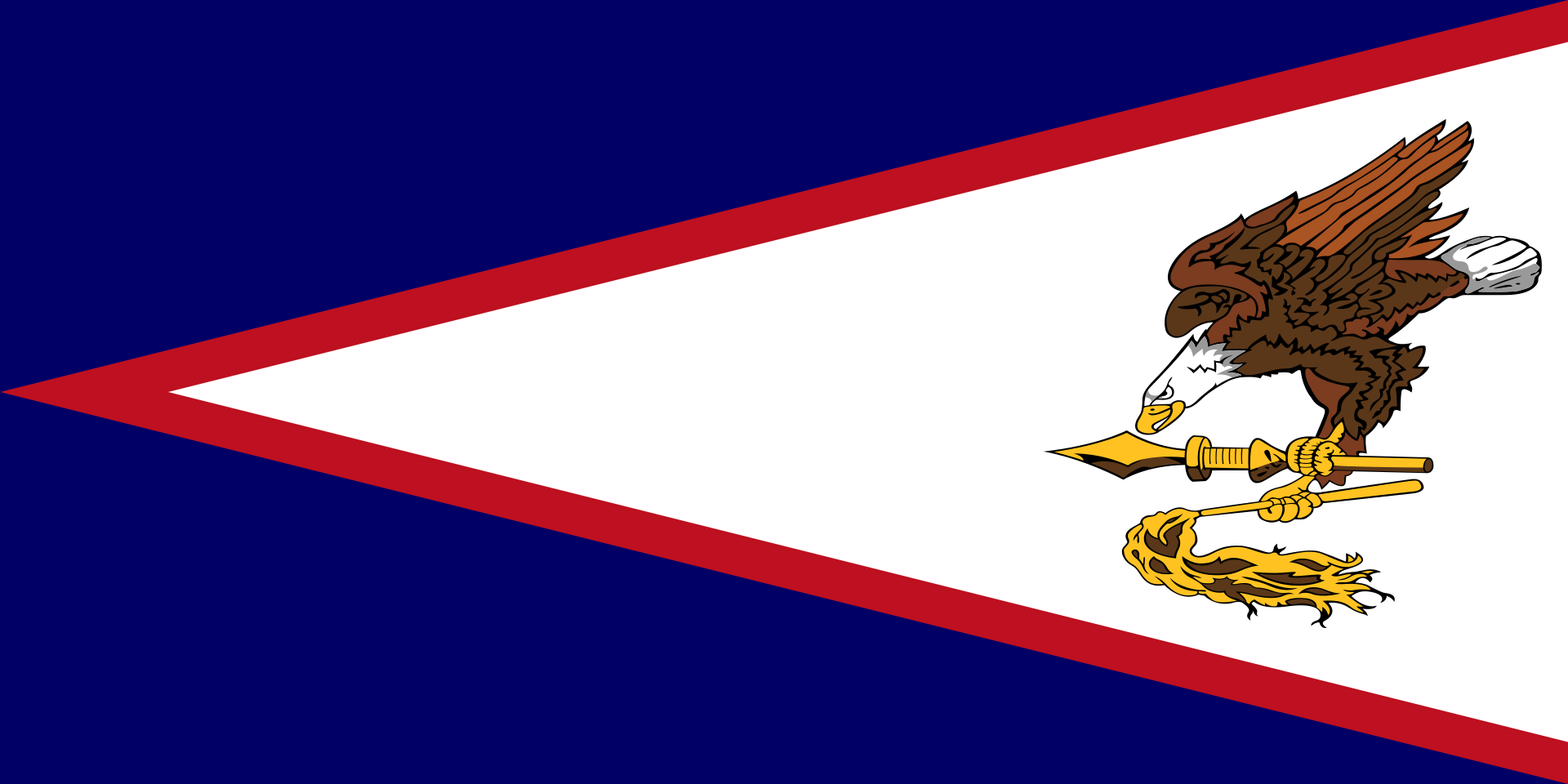
Flag:
Area
Total Area: 224 km²
Total Land Area: 224 km²
Total Water Area: 0 km²
Demographics
Population: 43,895
Population Growth Rate: -1.54% (2024 est.)
Largest City: Tafuna (Population: 7,988)
Ethnic Groups: Pacific Islander 88.7% (includes Samoan 83.2%, Tongan 2.2%, other 3.3%), Asian 5.8% (includes Filipino 3.4%, other 2.4%), mixed 4.4%, other 1.1% (2020 est.)
Languages: Samoan 87.9% (closely related to Hawaiian and other Polynesian languages), English 3.3%, Tongan 2.1%, other Pacific Islander 4.1%, Asian languages 2.1%, other 0.5% (2020 est.)
Religions: Christian 98.3%, other <1%, unaffiliated <1% (2020 est.)
Economy
Currency: United States dollar
Real GDP at Purchasing Power Parity ($ PPP): $658 million (2016 est.)
GDP per capita (PPP): $658 million (2016 est.)
Exports Value Per Year: $409 million (2022 est.)
Biggest Export Partners: Australia 33%, South Korea 16%, Taiwan 8%, Kuwait 8%, Senegal 5% (2022)
Imports Value Per Year: $677 million (2022 est.)
Biggest Import Partners: Malaysia 27%, Singapore 24%, Fiji 12%, South Korea 9%, Taiwan 9% (2022)
Government
Type: unincorporated, unorganized Territory of the US with local self-government; republican form of territorial government with separate executive, legislative, and judicial branches
Capital City: Pago Pago (Population: 3,000)
Other Facts
Time Zone: UTC−11 (SST)
Country Code: AS, US-AS
Internet TLD: .as
Climate Map of American Samoa

Climate: tropical marine, moderated by southeast trade winds; annual rainfall averages about 3 m; rainy season (November to April), dry season (May to October); little seasonal temperature variation
Topographic Map of American Samoa